2. Forest Biomass Estimation Using Photogrammetry and High Resolution Satellite Data
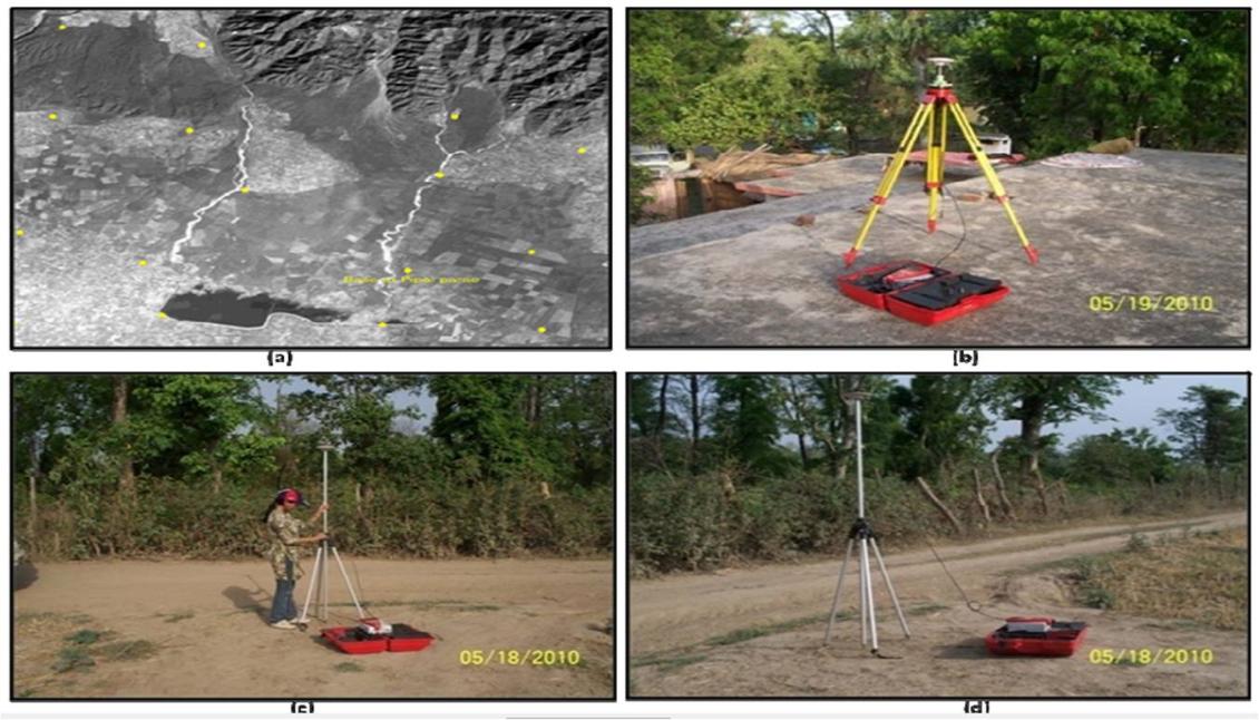
My Master's thesis was on the retrieval of forest biophysical parameters such as stand height, crown diameter and tree count using very high resolution data of Cartosat-1 and Quick-Bird and their empirical relationship for assessing phytomass. It involved tree inventory of forest
plantations in Bhakra forest range of Nainital district. Panchromatic stereo dataset of Cartosat-1 was evaluated for mean stand height retrieval. Texture analysis and tree-tops detection analyses were done on Quick-Bird PAN data. This study was supported by Indian Institute of Remote Sensing as part of National Carbon Project under ISRO Geosphere Biosphere Programme.
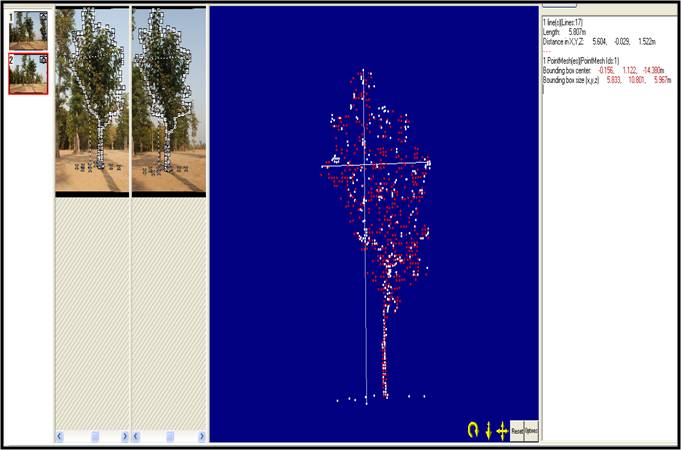
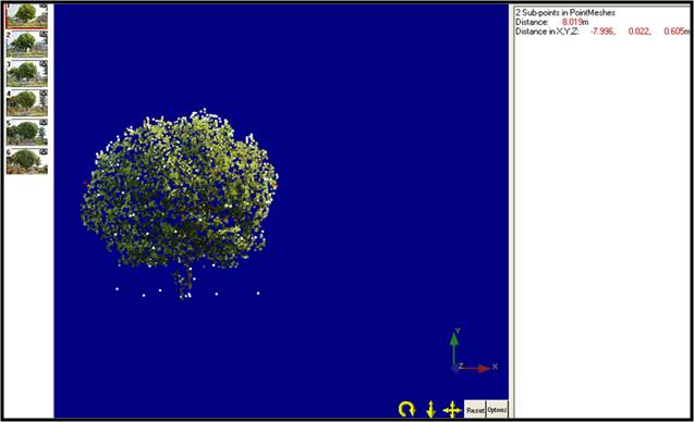
3. Retrieval of Tree Bio-physical Parameters Using Close Range Photogrammetry
This study was a part of my Master's thesis and involved the development of an approach to generate the 3D model of individual standing trees and retrieve their biophysical parameters like tree height, crown base height and crown diameter. Such experiments and methodological studies particularly in forest ecosystem are required using very high-resolution close range digital photographs to understand the rate of growth, carbon pool assessment and carbon sequestration in forests with higher accuracies. This study was also supported by Indian Institute of Remote Sensing as part of National Carbon Project under ISRO Geosphere Biosphere Programme.
© copyright www.sujataupgupta.com